
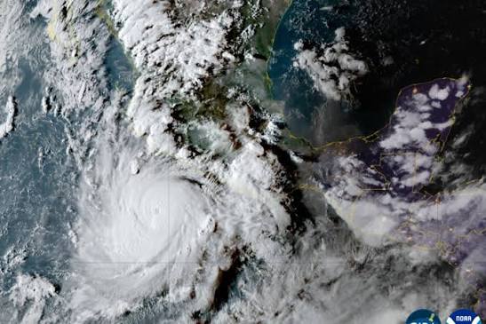
Hurricane Polo reached Category 5 on Tuesday, September 22, off southwestern Mexico. In the AP report, the U.S. National Hurricane Center called it extremely dangerous, with maximum sustained winds of 266 kph. That figure belongs to that advisory, not the storm’s current status.
At 9 a.m. the center was about 330 km south of Zihuatanejo, moving north near 3.2 kph. A northwest turn was expected and the core was forecast to remain offshore. Avoiding landfall reduced some impacts but did not remove coastal danger.
Mexico issued a tropical-storm warning from Tecpan de Galeana to Punta San Telmo. Classes were suspended in some coastal areas and ports in Guerrero and Michoacán were closed. Fishing boats were pulled ashore in Acapulco.
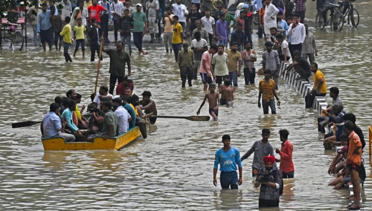
Forecast rainfall of 8–15 cm in Guerrero and Michoacán could cause flash floods and landslides, with smaller totals in Oaxaca, Colima and Jalisco. Rough surf, rip currents and tropical-storm winds extended risk beyond the eye.
The Saffir-Simpson category measures sustained wind; Category 5 begins above 253 kph. It does not directly measure rainfall, surge, size or forward speed, so storms with the same category can produce different impacts.
A NOAA hurricane hunter investigated Polo and refined estimates. Observations reduce uncertainty, but intense cyclones fluctuate rapidly. Historical strength alone cannot establish the cause of an individual storm without attribution analysis.
People were urged to follow official warnings, avoid beaches, respect port closures and prepare for flooding or landslides. The article’s September 22 cutoff matters: an offshore center never meant a risk-free coast.