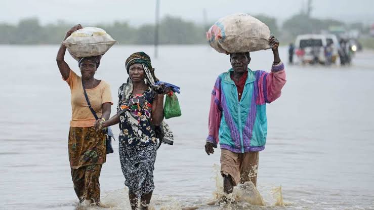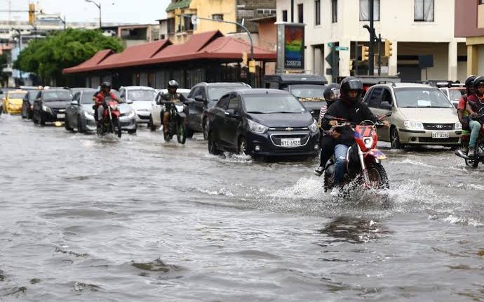

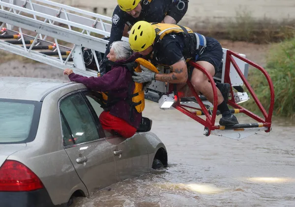
A sequence of Pacific storms triggered flash flooding across Arizona and Colorado on November 1, with alerts extending into the following day. Some places could receive four inches, about 10 centimetres, on saturated ground, closing roads and forcing rescues and evacuations.
Pagosa Springs, Colorado, a town of just over 2,000, again evacuated downtown and low areas beside the San Juan River. The National Weather Service forecast a possible crest of 21.9 feet, 6.7 metres, above the 1911 record of 17.8 feet. That was a projection, not an observed level.
By sundown the river was near 14 feet, about 4.2 metres, and still being monitored. Roads remained closed, and the town said sewage had entered the river. Residents were told to avoid contact because of both the current and possible contamination requiring later sampling.
In Arizona, Oak Creek rose around Sedona, isolating residents and prompting rescues. State public-safety aircraft lifted people from rooftops, and nearly 20 homes required emergency relocation. No deaths or injuries from those operations had been confirmed by Sunday afternoon.
Gisela received a full evacuation order, with alerts also affecting Camp Verde, Yavapai County, Durango, northern New Mexico and the Tucson area. In Flagstaff, teams searched for a man swept into water; without official confirmation, he remained missing rather than a reported fatality.
A Tucson meteorologist said some locations received two or three months of normal rain in days. On saturated soil, normally dry washes, underpasses and roads become fast hazards. Impact depends on the precise storm cell, slope, drainage and spacing between rainfall bursts.
The emergency remained open at the reporting cutoff. Immediate work was to keep people from flooded crossings, maintain shelters and update observed gauges instead of presenting a forecast maximum as fact. Later needs include inspecting bridges and drains, testing water, documenting damage and adapting development beside fast-response streams.