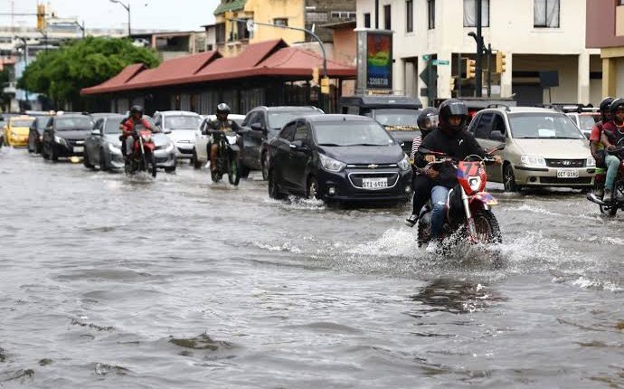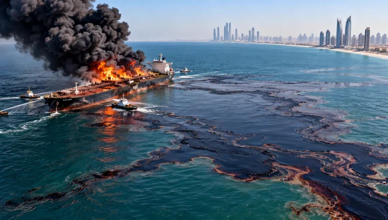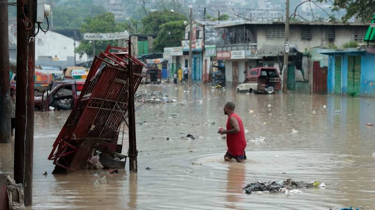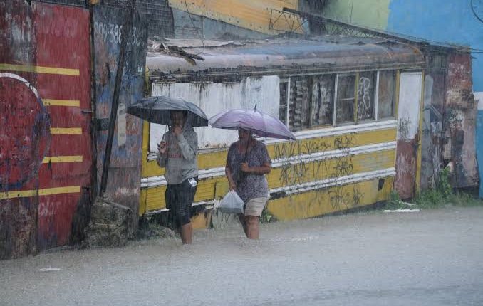
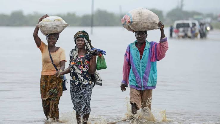
FEWS NET flagged high flood risk in parts of equatorial Africa, Central America, Hispaniola and Colombia for October 29–November 4, while noting that El Niño continues to strengthen. The seven-day window is essential: it does not cover all of November or mean every country and province listed will flood.
Global Weather Hazards combines recent conditions, climate information and forecasts up to one week. It anticipates events that may affect crops and pasture across Africa, Latin America and the Caribbean, the Middle East and Asia. Highlighted zones are areas of concern, not confirmed disaster perimeters.
Flood risk needs local translation. The same rainfall can replenish dry soil, inundate crops, close roads or overflow rivers depending on intensity, duration, terrain, prior saturation, drainage and crop stage. National agencies must specify basins, times and thresholds, while communities add information a global map misses.
El Niño shifts tropical circulation and raises the odds of some patterns but does not act uniformly or cause every storm. During 2026–2027, heavy rain can coexist with seasonal deficits elsewhere. Focusing only on excess water can hide heat, dry spells, pests and price pressure, sometimes within one country.
Timing matters to farming as much as totals. Water over new plantings can erode soil and force replanting; near harvest it can trigger fungi, post-harvest losses and market disruption. Flooded pasture can harm animals before later forage gains. Field reporting should update forecasts with observed effects.
FEWS NET says this product is not a long-range forecast and does not describe food-security conditions. A weather hazard is not automatically hunger: stocks, prices, income, access, conflict, infrastructure and assistance shape outcomes. It can still trigger preparedness before crop losses become consumption crises.
Useful action includes checking waterways and drains, protecting seed and inputs, adjusting harvest, preparing animal health, maintaining access routes and communicating locally. Measured rain, flooding and yields should later be compared with the forecast. Used within scope, the map supports anticipation; treated as certainty, it misdirects resources.