
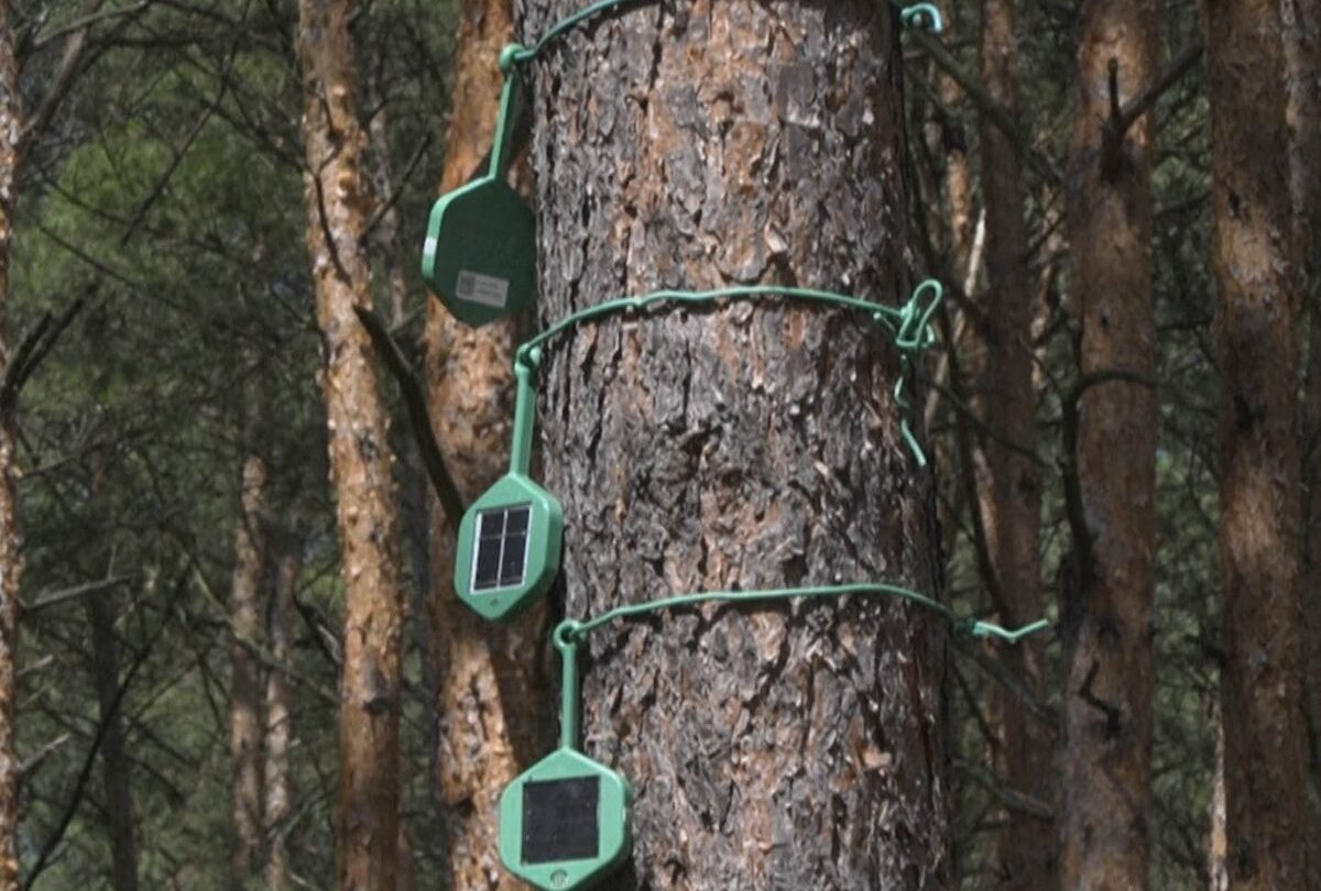
The Air Merah community in Muaro Jambi is testing a simple warning system to gain crucial time before peat fires spread. Two units installed in late August measure temperature and water levels, publish readings online and can sound a siren when dangerous thresholds are crossed.
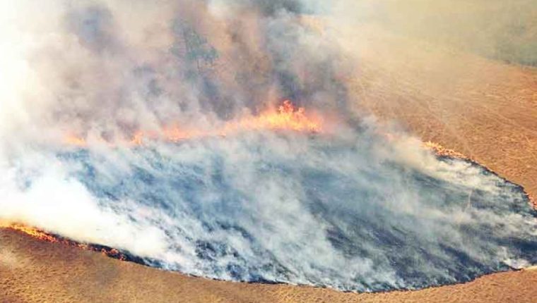
Sungai Gelam peat reaches 11 meters deep, stores substantial carbon and supports at least 22 recorded bird species and Sumatran tiger habitat. Logging, clearing and drainage canals for oil palm disrupted hydrology; dry peat can burn underground, reappear far away and emit toxic smoke.
The 1,764-hectare community forest burned in the El Niño seasons of 2015, 2019 and 2026. Residents estimated the latest fire exceeded one square kilometer; about 300 people, agencies and helicopters needed ten days to suppress it while canals and pumps lacked water.
Fincapes, a University of Waterloo project funded by Global Affairs Canada, designed the equipment for local installation and maintenance. Public data, a siren and future messaging alerts could let residents and officials watch conditions in real time and stage resources earlier.
Two sensors are not yet a validated network. False alarms, power and connectivity failures, threshold calibration and actual lead time still need testing. A warning matters only with a protocol defining who verifies it, where water is available and when outside support is called.
Structural prevention remains hydrological. Water tables fell as much as two meters, and specialists say consistent canal blocking may take four years to stabilize them. The pilot sits inside a 47-hectare restoration effort, but risk management must extend across the watershed and neighboring plantations.
The project should be judged by lead time, water readiness, burned area, smoke exposure and restored moisture, not by the device alone. Maintenance funding, data governance and community authority will decide whether the alarm prevents a fire or merely records dangerous conditions.