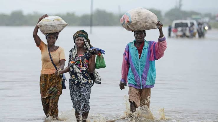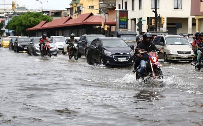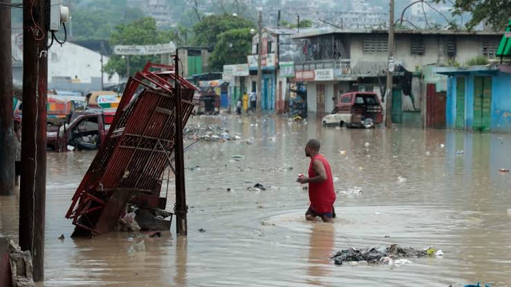

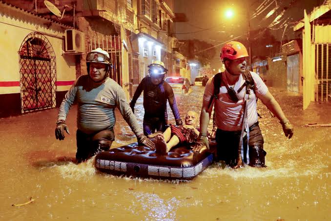
Guayaquil flooded again on November 1 for the second time in a week after an intense electrical storm. The city reported water accumulation in at least 83 sectors as thousands waded knee-deep. Power outages, stalled vehicles and disrupted services exposed urban vulnerability beyond the exceptional rainfall.
Geography worsened the event. The city sits beside the Guayas River, and tides slow drainage when they coincide with heavy rain. A 3.71-meter high tide expected near midnight could raise canals, reducing how quickly streets and pipes release accumulated water.
Upstream conditions also mattered. Controlled releases had begun at the Daule-Peripa reservoir as its level rose, adding to the Daule River, a Guayas tributary. A preventive release is not by itself proof of causation, but it must be coordinated with rainfall, flow, tide and downstream drainage capacity.
INAMHI issued its highest warning for the Gulf of Guayaquil. At 9:12 p.m., a lightning strike in northern Guayaquil measured 113,000 amperes, compared with a typical 20,000–30,000. That shows exceptional electrical activity, not total rainfall or damage on its own.
The José Joaquín de Olmedo airport delayed departures and diverted incoming flights. Power and flooded roads disrupted mobility, commerce and access to services. “Thousands in water” does not automatically mean thousands of destroyed homes; exposure, rescues, damage and losses require separate counts.
El Niño warming in the eastern Pacific raises the likelihood of torrential rain on Ecuador's coast and northern Peru. The source placed regional waters about 5°C above average and called the episode extraordinary, but drainage, land use, maintenance, tides and water operations shape street-level flooding.
Response should treat it as compound risk. Neighborhood alerts, canal clearing, pumps, shelters, power continuity and airport protocols must align with rain, tide and reservoir forecasts. Mapping drainage times and rescue points after each storm will show whether infrastructure reduces vulnerability before the next event.