
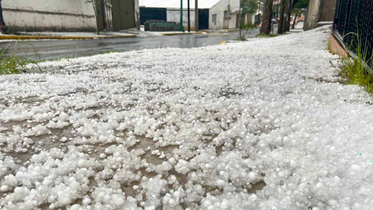
A cold front changed weather across São Paulo state on Tuesday, September 1, after several days of unseasonable heat. For the capital, the forecast cited by Folha placed temperatures between 15C and a high of 21C, with rain from early morning and greater instability in the afternoon and evening. The forecast describes a risk window; it does not confirm that every projected event will occur in every neighbourhood.
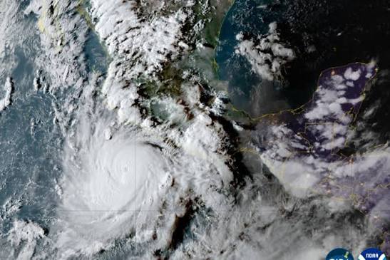
Brazil’s National Institute of Meteorology issued a yellow potential-danger storm warning for broad areas of the South, Southeast and Centre-West. It covered rainfall of up to 50mm a day, winds of up to 60km/h and possible hail. These thresholds apply to the warning area and should not be read as observations already measured in the city.
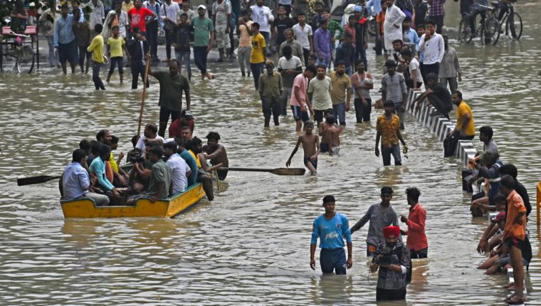
The municipal Climate Emergency Management Centre expected isolated showers from early morning and stronger precipitation later. Across the metropolitan region, rain, gusts and saturated ground raise the risk of fallen trees, flooding and overflowing streams and rivers. Rapid spatial variation makes local updates as important as the general forecast.
State Civil Defence widened attention to storms and gusts that could exceed 75km/h in some regions. Baixada Santista, the north coast, Campinas and Presidente Prudente were among the areas cited. The difference from Inmet’s 60km/h threshold reflects warnings at different territorial scales, not necessarily a contradiction between agencies.
On the coast, the Brazilian Navy warned of rough seas and waves of up to 3.5 metres along stretches of the southern and southeastern shoreline from Tuesday to Thursday. The hazard combines swell, wind and movement through exposed places. Avoiding promenades, rocks, beaches and non-essential navigation during the critical period lowers exposure.
Urban precautions include not sheltering under trees, keeping away from poles and fallen wires, avoiding flooded streets and securing loose objects. Travel should incorporate traffic information and official alerts. Clearing drains and checking entry points for water can reduce minor property damage without replacing public emergency measures.
Subsequent assessment must separate forecasts from what occurred. Rainfall by station, maximum gusts, observed hail, fallen trees, power cuts, floods and affected people will measure the episode. The 21C high shows the front’s thermal change, but the decisive environmental evidence will be the distribution of rain and wind and how well infrastructure absorbed them.