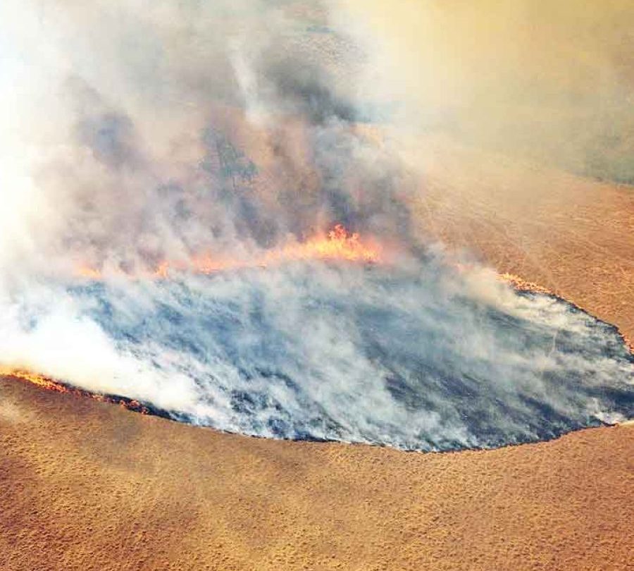
GDACS updated Australian wildfire event WF 1033273 on October 30 to an estimated 6,056 burned hectares. First detection was October 21 and the latest thermal anomaly came nine days later. Its green alert means the model expects low humanitarian impact from area, exposure and vulnerability.
The platform estimates one person inside the burned polygon. This is not a confirmed casualty, evacuee or resident, but a geospatial overlap. It does not establish damage to homes, livestock, infrastructure or ecosystems; those require Australian fire-service and field reports.
The area changed while detection continued: an earlier version showed 5,325 hectares. New satellite passes, cloud and smoke interference, or algorithm revisions can shift boundaries, so every figure needs a timestamp and should not be treated as a final surveyed perimeter.
GDACS receives wildfire events from the Global Wildfire Information System using thermal anomalies and remotely sensed burn scars. It generally filters for events above 5,000 hectares, while experts may add smaller fires near populations. It does not replace Australian operational command.
Green does not mean no danger. A sparsely populated fire can damage habitat, produce smoke, close roads or change rapidly with wind and heat. Nearby residents should follow state evacuation, air-quality and traffic advice; GDACS itself says its data are indicative and need alternative sources.
The global record is useful for rapid comparison across countries. Dates, duration, area, exposure and satellite links help humanitarian users decide where to investigate. Its resolution cannot explain ignition, minute-by-minute behaviour or ecological severity.
Responsible reporting keeps both points: by October 30 the satellite estimate was 6,056 hectares and expected humanitarian impact was low, while exact location, damage and containment were not confirmed in the sheet. Future updates need comparison with official perimeters and local reports.