
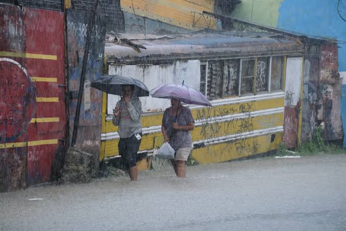
A trough and warm southerly to southeasterly winds sustained a forecast of moderate to heavy rain, thunderstorms and gusts across much of the Dominican Republic. Indomet's bulletin covered the period from the afternoon of October 25 to the afternoon of October 27.
Eight provinces remained under advisory and six under alert because of possible flash urban flooding, swollen rivers, streams and ravines, and landslides. Those labels indicate preventive levels; they do not by themselves confirm damage.
In Greater Santo Domingo, the heaviest conditions were expected late in the afternoon and at night, especially in northern and eastern sectors. Rain was also forecast across the northwest, border, southwest, Cibao, southeast and Central Range.
Monday's outlook placed early rain along the Caribbean coast, southwest and border before activity shifted toward the northeast and Cibao. Moisture was expected to persist Tuesday, with locally heavy episodes and storms over broad areas.
Repeated downpours can saturate soil and shorten reaction time. Monitoring should focus on small waterways, ravines, unstable slopes, low crossings and neighborhoods where drainage can overflow quickly.
The bulletin paired rainfall risk with persistent heat: lows of 23 to 25 degrees Celsius and highs of 32 to 34. Indomet advised hydration, light clothing, ventilation and avoiding direct sun from 11 a.m. to 4 p.m., especially for vulnerable groups.
An effective response requires updated forecasts, respect for closures and avoiding moving water. Because the advisory had a defined end time, later decisions should rely on new bulletins and local observations rather than automatically extending this forecast.