
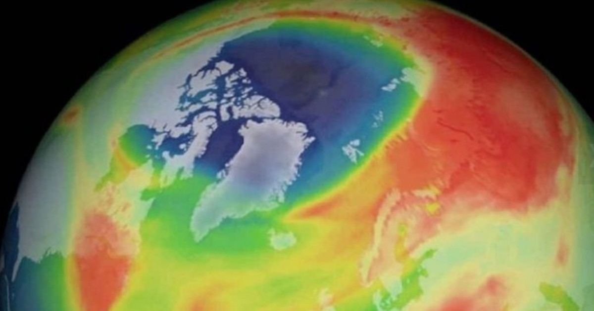
The first Atmosphere Watch report from the Copernicus Atmosphere Monitoring Service (CAMS), released on 30 September 2026, documents how ozone, wildfire smoke and desert dust affect territories far from their sources. The global assessment, focused on the first eight months of the year, was presented by the European Centre for Medium-Range Weather Forecasts (ECMWF) (https://www.ecmwf.int/en/about/media-centre/news/2026/cams-atmosphere-watch), which implements the service on behalf of the European Commission.
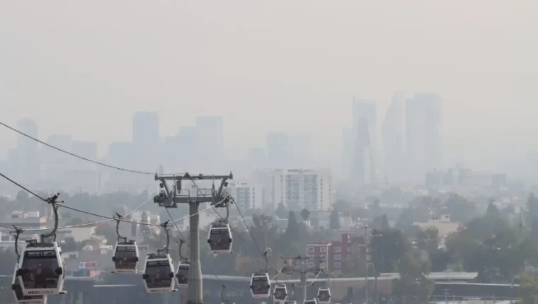
According to the analysis, nearly 40% of the world's population was exposed to extremely high ozone levels, while around 5% experienced concentrations classified as good. In Europe, half the population fell into the poor, very poor or extremely poor categories. These are indicators of ozone exposure; they should not be added to smoke or dust indicators to calculate an unduplicated total of affected people.
Ground-level ozone forms through chemical reactions between precursor pollutants, including nitrogen oxides and volatile organic compounds, favoured by sunlight and high temperatures. It can harm health, ecosystems and crop yields. Consequently, reductions in emissions of other pollutants in Europe do not automatically eliminate the ozone problem, which is also influenced by weather conditions.
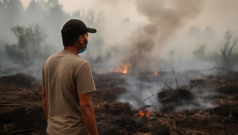
Atmospheric transport expands the scale of the problem. The report describes smoke from North American wildfires that reached parts of Europe and locally contributed to higher concentrations of fine particulate matter, PM2.5. It also records impacts hundreds of kilometres from fires in France, Spain, Belgium and the United Kingdom. Saharan dust crossed the Atlantic or the Mediterranean towards Europe, the Caribbean and other regions in separate episodes.
To reconstruct these pathways, CAMS combines satellite observations, ground-based networks and atmospheric models. Its global system represents more than 50 chemical species and receives contributions from more than 100 specialist European organisations. This combination enables analysis of concentrations and forecasts of pollutant movements, providing information that supports environmental and public-health authorities, particularly where monitoring-station coverage is limited.
The assessment must be read with its data cutoffs in mind. Although the main evaluation covers January to August, the dust-alert chart incorporates data through 15 September. Neither constitutes a final assessment of 2026 as a whole. Exposure percentages also do not equate to cases of disease or demonstrate that everyone in a region breathed the same concentration throughout the period.
Monitoring of new episodes can draw on the data and forecasts CAMS already provides to scientists and public officials. These can be used to examine local emissions and distant contributions together before designing air-quality responses. The case shows why coordination between territories requires compatible information. Information from ECMWF (© ECMWF) under CC BY 4.0 (https://creativecommons.org/licenses/by/4.0/), with original writing and translations.