
Farmers across northern India and Pakistan burn crop residue in two seasonal waves, usually peaking in April and November. The second wave is more hazardous because winter begins as smoke is released across a densely populated region.
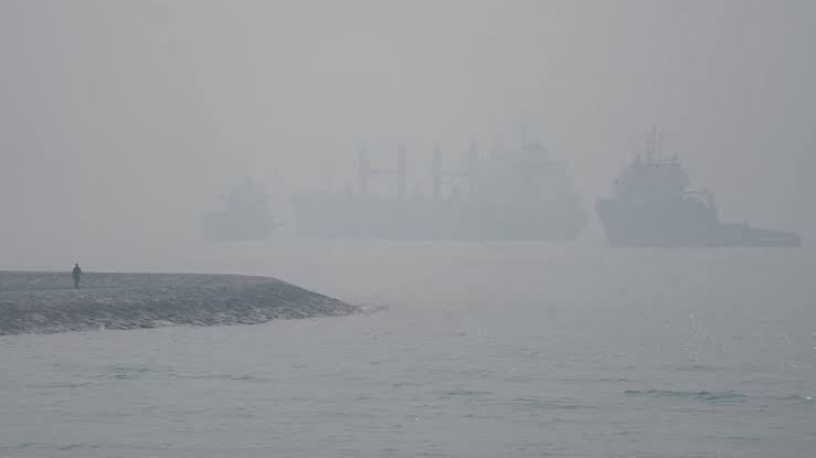
Cold dense air traps farm smoke together with traffic, construction, brick-kiln, industrial, dust and household emissions. Fire counts therefore cannot explain the entire smog episode without wind, humidity and mixing-height data.
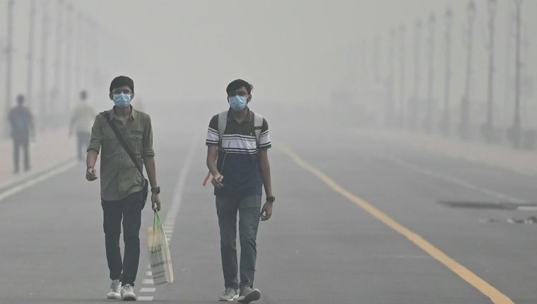
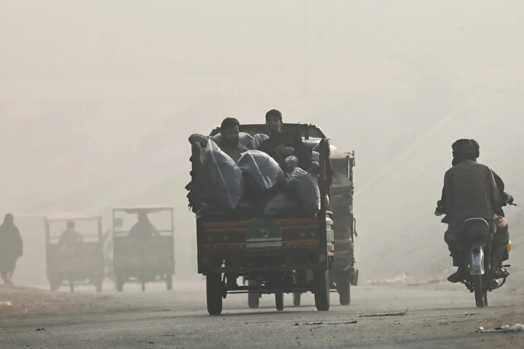
On November 3 Lahore recorded an IQAir index of 447 and PM2.5 around sixty times the WHO annual guideline. Delhi read 215 on that scale, while India’s official system reported 332; the methods differ.
Satellites locate heat, not its cause. A hotspot may be stubble, forest, waste or industry, while cloud and smoke can hide fires and brief burns between overpasses may be missed.
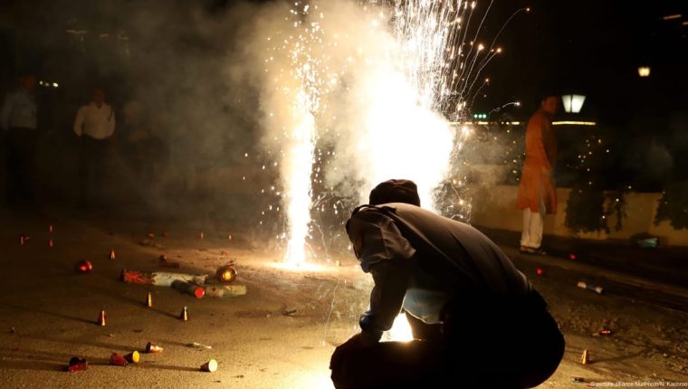
Delhi restricted dirty vehicles, construction, coal and firewood use and expanded public transport. Pakistan tightened brick-kiln enforcement and urged farmers not to burn; Diwali fireworks may add a short-lived load.
Blaming farmers or a neighboring country ignores narrow planting windows and other sources. Alternatives require affordable machinery, straw collection, biomass markets and equally credible enforcement in cities and industry.
Source apportionment should combine satellites, ground monitors, meteorology and air-mass trajectories. Health alerts reduce immediate exposure, while agricultural and urban measures must be judged by lower human PM2.5 exposure.