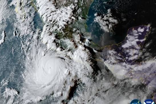

A very strong El Niño could drive an exceptionally stormy 2026-27 winter across the United States. The pattern strengthens the subtropical jet stream, which often carries systems from California to Florida and then up the East Coast beginning in November.
Florida has one of the clearest signals. One model gave Miami a 75% chance of finishing in the wettest 5% of winters, roughly fifteen times normal; Tampa's relative risk was estimated at thirteen times normal.
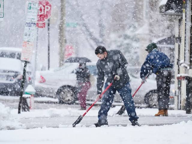
The East Coast could see about twice as many strong storms as usual. In the Northeast, more nor'easters and coastal erosion are concerns; Washington may receive less total snow yet have a somewhat higher chance of one large snowstorm.
In the West, the highest odds of above-normal precipitation extend from California to New Mexico. That could ease drought but also raise risks of coastal and inland flooding and damaging winds, especially from January through March.
Some extreme scenarios show three to four years of rain falling in one Southern California season. That figure represents the severe tail of model outcomes, not the central forecast, and should not be treated as an expected total.
Impacts will not be uniform. Colorado sits on the edge of the main signal and snowfall remains uncertain; the interior Northwest and northern Rockies may see worsening drought, while the Midwest leans milder and less snowy early on.
A seasonal forecast guides preparedness, not daily schedules. Officials and households should review drainage, coasts, evacuation routes, snow operations and water supplies, then update decisions with short-range warnings as each storm develops.