
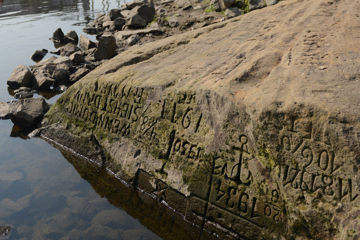
The rock formation Ínség-szikla, known as the Hunger Stone, emerged again from the Danube in Budapest in August 2026. It normally remains submerged and becomes visible when the river falls sharply. Its appearance is a recognizable historical signal, but drought severity is established through rainfall, soil-moisture and river-flow records, not by the stone alone.
The crisis developed months earlier. Between April and July, much of the basin received rainfall far below the 1990-2025 average, while several areas recorded more days above 30°C in June. Heat accelerated soil-water loss. A relatively wet February did not prevent moisture from declining in March and the deficit from spreading through spring.
The International Institute for Applied Systems Analysis tracked moisture in the upper 30 centimetres of soil with its CWatM hydrological model. By July, large areas faced extreme scarcity, with Austria, the Czech Republic and Hungary among the hardest hit. Across the Danube basin, 2026 ranked as the second-driest year for soil moisture since the series began in 1990, behind 2003.
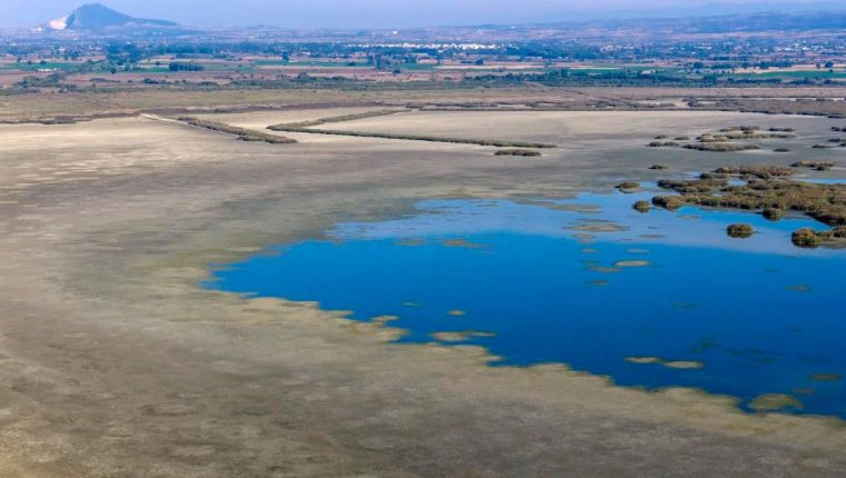
The hydrological signal was even stronger. Modelling placed minimum flows in July 2026 at their most extreme level since 1990, below even the 2003 episode in the Danube and many tributaries. Sentinel-2 images taken only five days apart in August also showed retreating water. Gauge observations and local operating rules are still needed to define conditions along each river section.
More than 80 million people live in the basin, which supports urban supply, irrigation, industry, electricity generation, freight transport and tourism. Low levels have already caused water and energy problems, disruptions to cargo and cruise navigation, and even a nuclear-plant shutdown, according to the cited assessment. Reduced draught forces vessels to carry less, raising costs along a cross-border economic corridor.
Ecosystems face a double pressure. Less water reduces habitat and connectivity, while warmer water holds less oxygen and increases stress on fish and other organisms. In farming, depleted moisture in the upper soil affects roots and productivity. Competition can intensify if each sector seeks to protect operations without coordinated basin-wide allocation.
IIASA plans to add August data in an update expected in September. Until then, the stone should be read as a warning rather than a final seasonal balance. Flows, storage, water temperature and dissolved oxygen, navigation restrictions, power output and crop performance will show the real trajectory; anticipatory allocation rules and demand reduction will determine how much physical drought becomes social and economic crisis.