

El Niño points to a very active but uneven U.S. winter
The pattern favors storms from California to Florida and the East Coast, with higher flooding and severe-weather risks. Regional probabilities do not guarantee a specific outcome in each city.

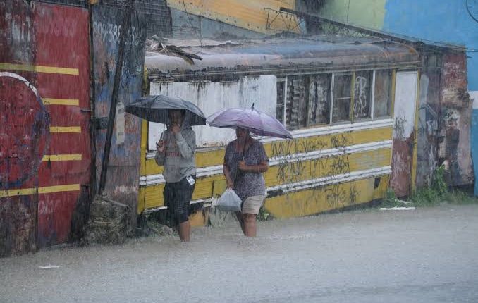
Piura flooded in October, months before its usual wet period. Senamhi forecast extreme rain and a stronger cycle from November while preventive spending and evacuations face scrutiny.
Indomet kept eight provinces under advisory and six under alert through October 27 for downpours, storms and gusts. The bulletin describes potential hazards, not a confirmed damage tally.
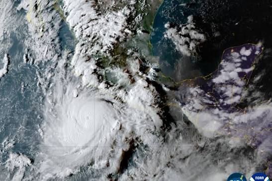
On September 22 the cyclone had sustained winds of 266 kph and was about 330 km south of Zihuatanejo. Although forecast to remain offshore, rain, surf and winds could still cause coastal flooding and landslides.
The official toll reached 100 deaths on August 10 while several rivers remained above danger levels. More than 700,000 people have been displaced since July; at least 49,000 were still in 125 camps and distribution centers amid an unstable recovery.
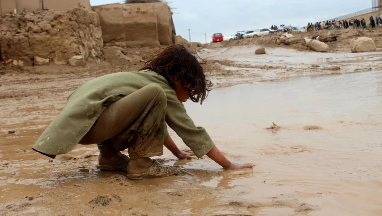
Afghanistan recorded at least 31 deaths, Chattogram received 412.3 millimeters in 24 hours and more than 890,000 people were evacuated in Guangdong. Warming increases available moisture, while vulnerable housing, crops and infrastructure turn heavy rain into disaster.
The municipality of Zárate, in northern Buenos Aires province, is preparing for a potential historic rise in the Paraná River due to the imminent arrival of a "Super Niño." With temperature anomalies of up to 7 degrees in the Pacific, the phenomenon could surpass the events of 1997 and 2015, and resemble that of 1877-1878, with impacts on the Río de la Plata Basin between October and February.